|
<< Click to Display Table of Contents >> Georeferenced |
  
|
|
<< Click to Display Table of Contents >> Georeferenced |
|
If the project is a georeferenced project the map coordinates will be in decimal degrees. For display in 3D local coordinates in either feet or meters will need to be assigned. Changing the local coordinates for a project after it has been created is not advisable using this tab, since only project coordinates will be changed and not the model coordinates. If it is necessary to change the coordinates after models have been created the Assign Local Coordinates function should be used.
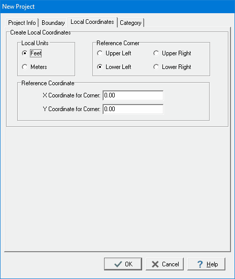
The following information can be specified on this tab:
Local Units: Select either feet or meters.
Reference Corner: Select the corner of the project to use as a reference. The x and y coordinates below will be assigned to this corner.
X Coordinate to Corner: This is the x coordinate of the reference corner.
Y Coordinate to Corner: This is the y coordinate of the reference corner.