|
<< Click to Display Table of Contents >> Editing Layers |
  
|
|
<< Click to Display Table of Contents >> Editing Layers |
|
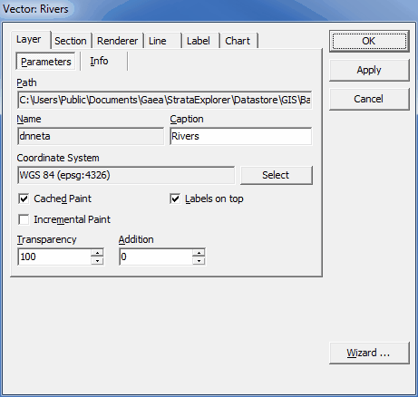
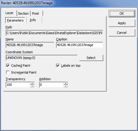
After a layer has been added or linked to a static basemap, it's display properties can be edited by double clicking on the layer on the sidebar. The Layer Properties form will be displayed. This form has six tabs for vector layers and three tabs for raster layers. If it is a vector layer the form will have either a Line, Area, or Marker tab depending on the type of shape in the layer. These tabs are described in the sections below.