|
<< Click to Display Table of Contents >> Stratigraphic |
  
|
|
<< Click to Display Table of Contents >> Stratigraphic |
|
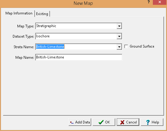
The following information can be specified for the Stratigraphic map type:
Dataset Type: This is used to select the type of dataset. It can be the elevation, strata top, strata bottom, or isochore
Strata Name: If the type of dataset is strata top, strata bottom, or strata isochore this is used to select the name of the strata.
Map Name: This is used to specify a unique name for the map.
After the above information has been specified a blank contour map can be created using the Ok button or data can be added to the map using the Add Data button.