|
<< Click to Display Table of Contents >> Editing a Horizontal Migration Model |
  
|
|
<< Click to Display Table of Contents >> Editing a Horizontal Migration Model |
|
The Horizontal Migration model is used to model horizontal migration of a contaminant from a waste mass to the site boundary. The model may contain a primary composite liner and an aquitard. In this option the primary composite liner can be composed of a geomembrane and a primary liner. If the geomembrane is present the leakage through the geomembrane is calculated using equations by Rowe et. al., 2004.
In this model the attenuation layer is modeled as a passive sink, where there is downward flow due to infiltration from precipitation and horizontal flow due to a difference in heads between the waste and the attenuation layer. The infiltration will have the effect of removing contaminant by acting as a passive sink with inflow. To avoid this effect set the infiltration into the attenuation layer to zero. Unless your really understand what you are doing, it is recommended that you set the infiltration to zero.
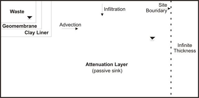
At the site boundary, the attenuation layer is assumed to continue indefinitely and is modelled as an Infinite Thickness boundary. If a geomembrane is present the horizontal flow is calculated using the leakage through the geomembrane calculated using the equations by Rowe et. al., 2004. And if the geomembrane is not present the horizontal flow is calculated using the average gradient (using the head in the waste and the head in the attenuation layer) and the harmonic mean hydraulic conductivity between the head measurements.
If the model was created using the Horizontal Migration template, the model form will display the model data on the left and the model output on the right. The model data can be entered in the tabs for General data, Source & Hydraulic Heads, Geomembranes, Clay Liners, Aquitard, and Special Features. In addition, there is a tab for the subsurface model.
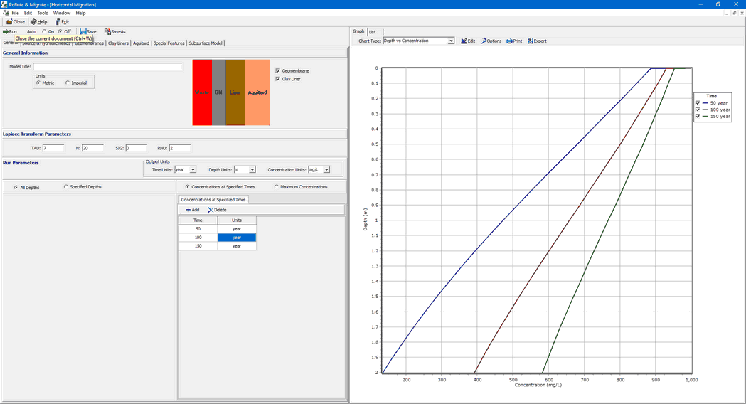
The data entry for the General data, Source & Hydraulic Heads, Collection System, Geomembranes, Clay Liners, and Aquitard is described in the sections below. The data entry for the Special Features is the same for all the templates and is described in the Editing Special Features section. Based upon the model data a subsurface model is displayed on the Subsurface Model tab, this is the same for all templates and is described in the section Displaying the Subsurface Model. The control of the display of the model output is the same for all templates and is described in the section Displaying Model Output.