|
<< Click to Display Table of Contents >> Contour Maps |
  
|
|
<< Click to Display Table of Contents >> Contour Maps |
|
Concentration data from EDMS samples can be included in contour maps. To add an EDMS concentration dataset to a concentration map of a parameter, open or create the map and select Edit > Data or Popup > Data. On the Data form click on the Add Datasets button to display the Select Dataset form.
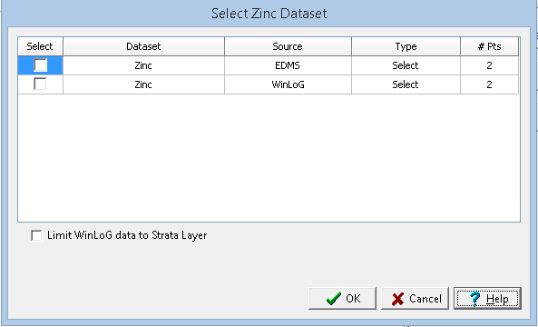
This form can be used to select the dataset to add, either EDMS, boring/well data, cross-section data or other data. The type of data is used to specify what data to use when there are multiple data points for a dataset at the same location, it can be either maximum, minimum, average, or median To select a dataset check the box next to it in the list. Fore more information see the section Selecting Data in Chapter 10.